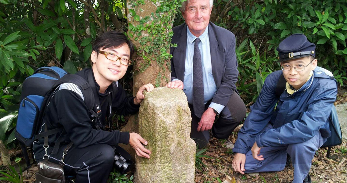
<![CDATA[The boundary stone was marked B.O. No4, and it was standing at the exact location where an 1895 map showed it to be 172 years ago, during the early occupation of Hong Kong by the British. Students and teachers with the Department of Real Estate and Construction of the University of Hong Kong (HKU) were doing field work as part of HKU’s class 'Property Rights, Built Heritage and Sustainable Development' in Hong Kong last October when they made the discovery. The long forgotten marker is located within Sai Wan Shan at the Lei Yue Mun Park. The boundary marker’s provenance was researched by Dr. Stephen N.G. Davies, who discovered that the “B.O” stamped into the stone identified it as belonging to the Board of Ordnance, a section within the British military responsible for mapping and surveying prior to 1855. That information led Davies to the oldest survey map of Hong Kong, the Ordnance Map of Hong Kong completed by Lt. Thomas Bernard Collinson who was with the Royal Engineers. Davies finally found the location of the boundary stone in the British National Archive – it was on a building plan of the Saiwan Redoubt dated 1895. A boundary stone is a large physical marker which identifies the beginning of a land boundary or a change in direction of a boundary. Many borders and boundaries are drawn along the invisible longitude and latitude lines, creating a need for them to be accurately marked on the ground. Stone markers have been used this way for millennia. The oldest boundary marker in China is in the Jiangsu Province and dates to the thirteenth century. It is inscribed with “the sea area from Jiaozhou Bay to the east of Guixan county belongs to Langya Shire and the waters from the south of Guixan county to the east of the estuary of Guanhe River belongs to Donghai Shire." Dr. Ken Ching Siu-tong, a professional land surveyor and Department alumnus led a subsequent visit to the site to confirm Davies identification. Geo-referencing (a precise survey process using a coordinate grid in an ArcGIS platform) showed that the marker was exactly where it had been set and mapped by Lt. Collinson, despite the heavy bombing suffered by the historic redoubt during the Japanese invasion in 1941 and the extensive alterations made post-war. A redoubt is a military fort or system of forts built either as temporary or permanent structures, and meant to protect soldiers who were outside of their main defensive location. Redoubts were a common component of military strategies and used by the majority of European empires in the colonial era. The concept of redoubts however, has been around since medieval times. Although the stone has suffered some damage throughout the years, all of the original markings remain legible. The unrestrained vegetation growth in the neglected redoubt has allowed a tree to grow immediately adjacent to the stone marker and threatens to topple it and cause more damage. Image courtesy of The University of Hong Kong ]]>
Boundary Stone Accurately Marks Spot for 172 Years