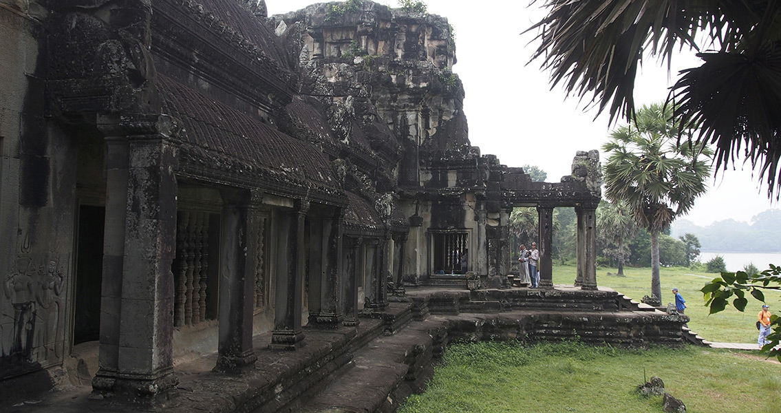
<![CDATA[A number of earthen mounds, arranged in a grid-like pattern, have been discovered in ancient Cambodian cities thanks to the use of airborne laser-scanning techniques employed by archaeologists. Researchers admit puzzlement in regards to what these so-called “dome fields” would have been used for at the time they were constructed, which is approximately 1,000 years in the past. In addition to these highly enigmatic features, archaeologists have also found mounds that had been shaped into spirals and other geometric patterns. Some of these were found near Angkor Wat and other temple complexes within Cambodia. The new findings come from the Cambodian Archaeological Lidar Initiative (CALI), which has been targeting areas for study in close proximity to these temple complexes. As large cities would have existed both around and within these temples in antiquity – evidence of which has been discovered since the 1990s – more work is underway in order to study these ruins. According to an article in Live Science, archaeologist Damian Evans from the École française d’Extrême-Orient published the team’s findings recently, describing how low-flying helicopters were used in conjunction with laser scanning equipment in order to see beyond the Cambodian jungle’s thick foliage. The scans laid bare the dome fields as well as the telltale marks left from buildings that had once been constructed from organic materials and since decayed, Evans explained. More than 735 square miles of Cambodia were scanned by air, with the activity largely taking place during 2015. The revelations included more data about Mahendraparvata, an ancient Cambodian city that would have flourished more than a millennium ago as the Khmer Empire that once ruled much of southeast Asia rose to ascendancy. An initial scan in 2012, one that covered 140 square miles of jungle, had previously revealed a portion of the ancient city. The Khmer Empire is thought to have peaked during the twelfth and thirteenth centuries CE, with its center at the city of Angkor – the site of Angkor Wat today. However, Evans noted in the research paper that the conventional beginning of the classical Angkorian period is closely associated with Mahendraparvata, which is dated to the eighth to ninth century CE, located somewhat north of Angkor. Evans and the rest of the research team are still hard at work trying to determine the size of Mahendraparvata. However, even as they do so, evidence of archaeological topography from the Angkor period, otherwise known as the shape of the ground, seems to indicate human presence in a rough swath of around 15 to 20 square miles. Much of that region was filled with the dome fields arranged in their grid pattern. Ground excavations into these mounds have been relatively fruitless in yielding new information, however, leaving the purpose of these dome fields a mystery to researchers. The domes set out in geometric patterns have proven to be equally enigmatic according to Evans, despite how obvious it is that they were laid down in these shapes deliberately. The research paper, which was published in the Journal of Archaeological Science, is available online Image courtesy of Wikimedia Commons user Clay Gilliland ]]>
Earthen Mounds Discovered in Ancient Cambodian Cities