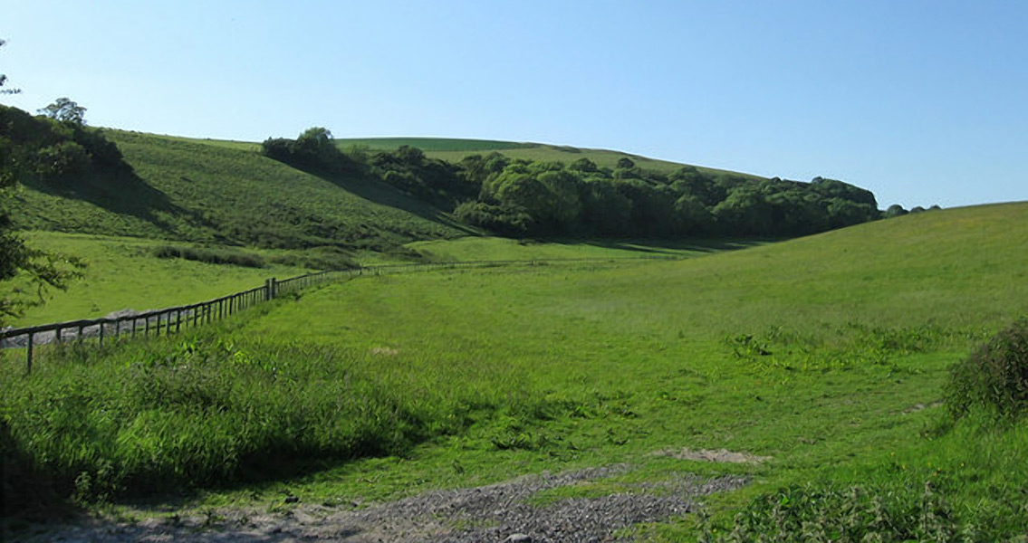
<![CDATA[The remains of a prehistoric collection of farms have been found in South Downs National Park in England, thanks to the use of advanced aerial laser scanning techniques. According to a BBC article, archaeologists have said that evidence of large-scale farming pre-dating the Roman occupation of England points to a relatively advanced level of civilization prior to the arrival of the Roman legions. Additionally, the aerial survey, which covered the landscape between Hampshire’s Queen Elizabeth Country Park and West Sussex’s Arun river valley, revealed the remnants of a Roman road that once ran between Brighton and Chichester. The technology, known as light imaging, detection, and ranging (LIDAR), involves mounting a specialized laser on an aircraft to scan the ground below. The end result is a three-dimensional model of the features of the ground, revealing structures, earthworks and other surviving features that might be concealed by woodland or the geographical particularities of otherwise “open” land. During the scan, images of the land between Charlton Forest and Lamb Lea Woods revealed that a system of fields – already under protected status as a listed monument – was only a small portion of a massive array of pre-Roman agricultural activity that extended well into the nearby woods. Chichester District Council archaeological officer James Kenney said the civilization that used the land to cultivate crops would have been closer to what we know of ancient Egypt, Greece, or even Rome rather than what archaeologists already know and expect from other prehistoric British archaeological finds. Mr. Kenny told the BBC that the new discoveries have raised several questions about the region, especially when it comes to just who was growing crops there and where they lived in relation to the fields. The size of the farming operation alone means that it must have been managed carefully, the archaeologist added, making the suggestion that there was some sort of farming collective in place among the local population. The South Downs National Park Authority’s chief executive Trevor Beattie also commented on the find, calling the scale of the farm collective “astonishing.” Meanwhile, the telltale signs left behind by the Roman road suggest that it began on Stane Street in Chichester, which would have been the route to London at the time. Researchers say that the lost Roman road then turned towards Arundel, at the southern end of the national park, by branching eastward. Historic England aerial investigation manager Helen Winton said the discovery of the long-forgotten Roman road was one of the true highlights of the project, despite the true bounty of “exciting” results the LIDAR study yielded. The South Downs National Park may have prehistoric roots, but it’s a relatively new addition to England’s national park system. Becoming fully operational on April 1st, 2011, the park covers a massive 628 square miles across the counties of East Sussex, West Sussex and Hampshire. The park itself stretches for 87 miles, terminating at the chalk headland known as Beachy Head, the highest chalk sea cliff in Britain. ]]>
Remains of Pre-Roman Farms Found in English National Park