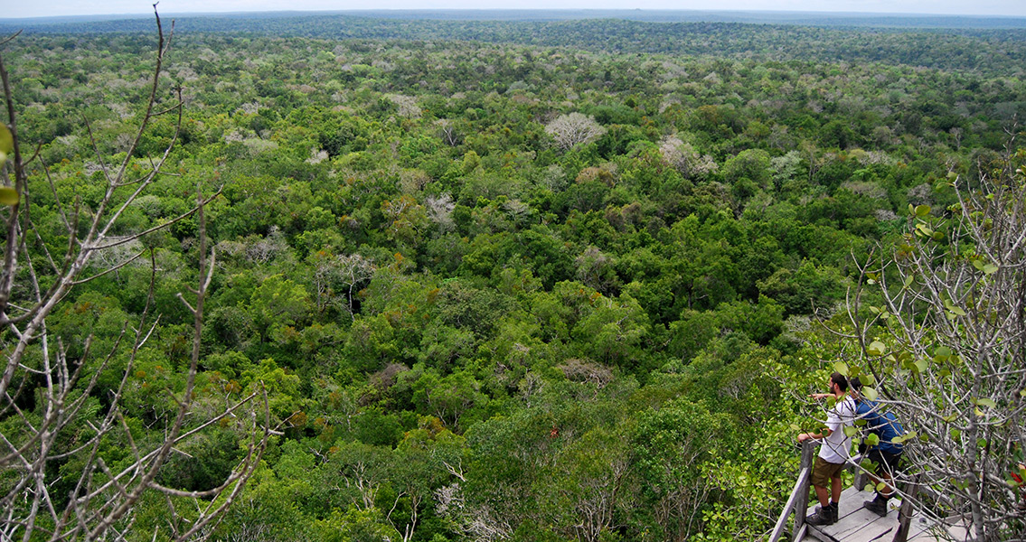
<![CDATA[High-tech scanning equipment has revealed a network of more than 150 miles of roads in a Guatemalan jungle, used by the Maya to travel and transport goods. The causeways were discovered in the Mirador Basin, located in Guatemala’s northern Petén region, where the largest expanse of virgin tropical forest left in Central America is located. Mirador, also referred to as the Kan Kingdom, is considered to be the cradle of the Maya civilization. Before it was abandoned in 150 CE, Mirador was the biggest city-state in the world in both population (one million) and size (833 square miles). It was also home to Central America’s largest known pyramid. Researchers have been aware of these causeways since 1967, when Ian Graham, a British Mayanist, published a map showing the causeways of Mirador crossing the swamp areas. Now, Light Detection and Ranging (LiDAR), able to penetrate thick jungle vegetation, has produced detailed images that have been used to map the region, providing researchers with new insights into the enormous system of superhighways. Mirador Basin Project researchers, led by Richard D. Hansen, an anthropologist and archaeologist with the University of Utah, have scanned and analyzed over 430 square miles of the Mirador basin so far, with results far beyond their expectations. The LiDAR-derived images accurately depicted structures, pyramids, agricultural terraces, corrals, canals and a system of 17 roads. As a result, Hansen was able to find detailed evidence of the roads' construction, location and destinations, with some of them measuring 130 feet wide, up to 20 feet in height, and 25 miles long. The first two causeways, which connected Mirador and Nakbe and Mirador and Tindall were constructed between 600 and 400 BCE, while others date back to between 300 BCE to 100 CE, allowing the unification of what is apparently the western hemisphere’s original state-level society. According to Hansen and his team, the residents of Mirador may have also been the first to establish a sophisticated network of animal pens, which was also identified using the LIDAR scans. This suggests that meat production in the Mirador Basin functioned at an industrial level, with transportation made possible by the presence of the superhighways which allowed for the transportation of food, tribute, materials, armies, rulers, and everything else associated with a complex political, social, and economic society. The Mirador network has been compared to Germany’s autobahn system and the USA's freeway system, making the homogeneity of society and a centralized government a real possibility. This new discovery will provide the researchers of Cuenca Mirador with even more Maya sites to investigate. Hansen and his team of experts believe these new findings will help them to understand the reason behind the decline of the Mirador Basin civilization after 150 CE, which is currently being investigated by researchers at 34 institutions worldwide. The Mirador Basin is being evaluated by the Congress of the Republic of Guatemala for protection as a wilderness area. The site is located in the center of the Maya Biosphere Reserve, considered one of the cultural and environmental lungs of North, Central and South America. ]]>
Maya 'Superhighways' Revealed by LiDAR