Categories
Breaking News

Mary Queen of Scots' Edinburgh Can Be Visited With New App

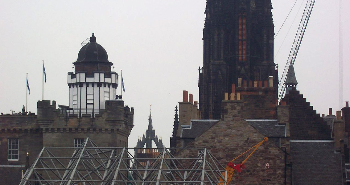
STV. 1544 was the year of the Rough Wooing, a vicious war between Scotland and England that exposed the complex political intrigues of the age. The death of King James V of Scotland in 1542 left his six day old daughter Mary as Queen of Scotland. Fueled by a powerful rivalry, the kings of France and England sensed an opportunity to secure Scotland’s allegiance through marriage to the new Scottish queen. Henry VIII of England ordered an invasion of Scotland to force the betrothal of Mary of Scots to his young son, Edward, hoping this marriage would secure the northern border and prevent a Franco-Scottish alliance against England. In May 1544 the Rough Wooing began when the Earl of Hertford, Edward Seymour, led a siege on Edinburgh. The attack failed to capture Edinburgh Castle, but the damage done to the city was considerable, with much of the medieval centre burnt to the ground. Rather poignantly, the map which the new app will be based on was actually made by Richard Lee, an English army engineer who served in the Earl of Hertford’s army. Archaeological data, the expertise of art and architectural historians, and documentary sources were also used in the creation of the map of how Edinburgh’s streets would have looked five centuries ago. The app is being marketed by Smart History, a company set up by St. Andrews University. Dr. Rhodes said in an interview with the Independent: “I hope it makes the public more aware of the layers in Edinburgh’s history and furthers understanding of the complex way in which the city evolved.”]]>
Categories
Breaking News

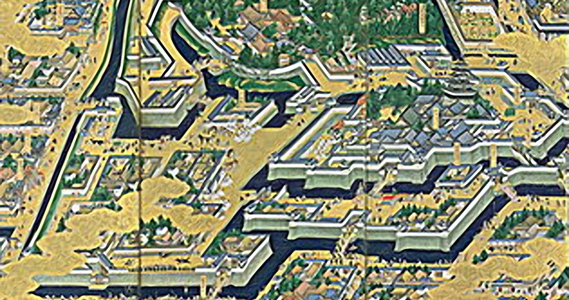
New Research Finds Map of Shogun’s Castle to be Among Oldest

Categories
Breaking News

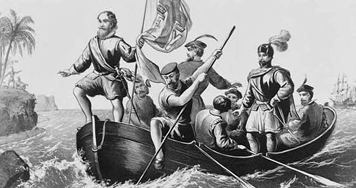
Spectral Imaging Ties Map to Columbus Expedition

YaleNews that the team had “recovered more information than we dared to hope for.” The historian said that the revealed details strongly indicated that the map – or a copy of it – was used as a basis for the map cartographer Martin Waldseemüller drafted in 1507 which bears the first recorded instance of the New World being labeled as “America.” Van Duzer says that it’s nearly certain that Columbus had gained access to the Martellus map prior to his journey, based on several pieces of historical evidence. A journal kept by a crew member on the initial voyage describes how it was believed that the expedition was sailing by island chains thought to be present in southern Asia according to the Martellus map, with the crew member describing the region using language similar to that found on the map. Additionally, texts originating from Ferdinand Columbus, the son of Christopher, recount how his father had been laboring under the expectation that he would come across Japan where the Martellus map indicated it would be. Columbus had expected to find the island chain in the same orientation and location that Martellus describes; from all the other maps dating to the period that have survived history, only the Martellus map lists this specific orientation and location for Japan. Around 80 percent of the text on the map has been recovered at this point, according to the research team. A published paper will accompany the group’s final findings once the project has been completed. ]]>