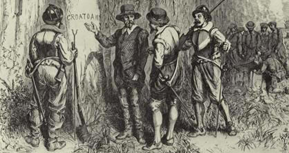
Virginian-Pilot that the findings may not offer definitive proof that the Lost Colony settled there, but they do show, at a minimum, that they could have; adding that there are numerous time periods represented at the Bertie site (renamed for the county it’s located in). Another critical piece of the puzzle is a map of the area drawn by fellow explorer John Smith, in the 1850’s, which is preserved at the British Museum in London, where researchers found the symbol of a fort underneath a repair patch – the symbol indicates a fort in the same location as the artifacts. Additionally, prior to leaving for England, White had instructed the colonists to “remove 50 miles into the main.” The Bertie site is approximately 57 miles from Roanoke Island. Years later, after the establishment of Jamestown, where White also had a significant role, a search party was sent south to look for the colonists. The party never arrived at the Bertie site, due to ongoing conflicts with the Native Americans in the area. During his time at Roanoke Island, Smith produced a number of maps and watercolor sketches of native Algonkin peoples and the surrounding landscape, considered to be the most informative drawings of the Native American culture in the region. The surviving watercolors are stored at the British Museum. White never fully recovered from the loss of the Roanoke colony, and he would never return to the New World. The excavation efforts haven’t unearthed any evidence of an actual fort, as the map showed, only evidence of a small number of early English settlers. Mysteriously however, Swindell is quoted in the Virginian-Pilot as saying, “We have new clues, that’s all we can say, there are new clues.” ]]>

Antiquity, has offered a personalised insight into the intercultural and spiritual dynamics at play as European and indigenous Caribbean cultures clashed for the first time, showing the tone and attitudes of some of the earliest interactions. “This research reveals a new perspective on the personal encounter between indigenous populations and the first generations of Europeans in the Americas.” said Dr. Jago Cooper from the British Museum. “This is a unique site that helps us to understand the origins of cultural identity in the Americas, the start of a process that continues right up to the modern day.” Image courtesy of University Leicester]]>

“The Oldest Case of Decapitation in the New World (Lapa do Santo, East-Central Brazil)” Image courtesy of Wikimedia Commons user: Archaeodontosaurus]]>

Aarrr Booty, which has permits for the exploration of five vessels in the area. All of them belong to a fleet of twelve ships that set sail from Cuba, then a Spanish colony, to the Iberian Peninsula in late July 1715. The fleet transported gold that was much needed by Philip V at the time as he was at war with France. Unfortunately for him, all but one of the vessels were sunk by a hurricane close to the Floridian coast a week after they had set off from Cuba. Aarrr Booty’s owner Brent Brisben obtained a permit for exploring the site of the wreck five years ago and last month located one of the ships and managed to bring to the surface the abovementioned gold coins, which are estimated to be worth around $1 million, with the Tricentennial Royal alone valuated at $500,000. The find was by all means an exciting event for the crew of the Aarrr Booty, but it is only a very small part of the treasure carried by the eleven vessels. According to Brisben, whose salvaging company is aptly named ‘1715 Fleet Queen Jewels’, the total value of the gold that the vessels had been carrying to Spain was no less than $440 million. In addition to the gold, the fleet may have been transporting the queen jewels of Philip V’s second wife, Elisabeth Farnese, duchess of Parma. The location of the jewels on one of the eleven vessels is only speculated over because as a non-taxable commodity they were not entered into any official inventories of the cargo, Brisben told Live Science. Spanish colonial coins were in circulation in both South and North America between the beginning of the seventeenth century and the early nineteenth century, Coin Quest, a coin collection website explains. There were two methods used for making the majority of the coins, and both produced quite imperfect shapes. The first method, cob, involved cutting gold and silver bars into relatively equal chunks and then stamping on them a pattern with a hammer while the chunk was pressed between dies made from a harder metal. This technique produced irregular shapes and patterns but that was of no importance; only the weight of the coins mattered. This method was employed as a way of transporting gold and silver mined in the New World to Spain more easily. The second method, milling, consisted of making thin sheets of silver or gold and cutting out blank coins from them, which were then put in screw presses with the patterns to be stamped on the blanks. While this technique produced much more regular shapes it was still inferior to die-casting, which worked with molten metal. Die-Casting took more time and effort, which was probably why it was not so popular a method of minting until later. Image courtesy of Wikimedia Commons user: Arandar]]>
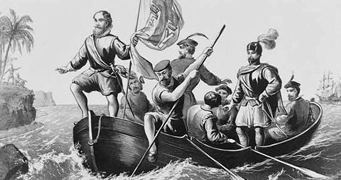
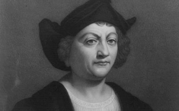
YaleNews that the team had “recovered more information than we dared to hope for.” The historian said that the revealed details strongly indicated that the map – or a copy of it – was used as a basis for the map cartographer Martin Waldseemüller drafted in 1507 which bears the first recorded instance of the New World being labeled as “America.” Van Duzer says that it’s nearly certain that Columbus had gained access to the Martellus map prior to his journey, based on several pieces of historical evidence. A journal kept by a crew member on the initial voyage describes how it was believed that the expedition was sailing by island chains thought to be present in southern Asia according to the Martellus map, with the crew member describing the region using language similar to that found on the map. Additionally, texts originating from Ferdinand Columbus, the son of Christopher, recount how his father had been laboring under the expectation that he would come across Japan where the Martellus map indicated it would be. Columbus had expected to find the island chain in the same orientation and location that Martellus describes; from all the other maps dating to the period that have survived history, only the Martellus map lists this specific orientation and location for Japan. Around 80 percent of the text on the map has been recovered at this point, according to the research team. A published paper will accompany the group’s final findings once the project has been completed. ]]>

Proceedings of the National Academy of Sciences, presents new ideas to explore. “We are not arguing against the role of drought in Cahokia’s decline but this presents another piece of information,” says Samuel Munoz, currently writing his Ph.D. in geography and the study’s lead author. The research also provides new information about the history of the Mississippi River, a waterway known to flood regularly, which may be useful now. “By understanding the river better, we can hopefully offer new information to those concerned about the exposure of current populations to floods”, explains Williams, a professor of geography. By using radiocarbon dating techniques of plant remains and charcoal within the core samples, Munoz and Williams have established ‘fingerprints’ of major flood events from the last 2,000 years. Following a 300-year-period of numerous floods, the centuries after 600 CE witnessed an increasingly arid climate. Archaeological evidence from this period reveals that human activity increased in the floodplain as people moved into the area and farmed more intensively. Around 1200, however, population began to decline. “There are shifts in craft production, house size and shape, and other signals in material production that indicate political, social and economic changes that may be associated with social unrest,” explained Sissel Schroeder, a UW-Madison professor of anthropology who aided Munoz and Williams. Cahokia fractured and the population began to migrate away from the floodplain. By 1400, the site was deserted. Many factors obviously contributed to Cahokia’s rise and eventual decline. A period of gradual aridification followed by increased flood activity provides a means of understanding how past societies, as well as modern ones, are dependent on the climate. Sudden shifts in environmental conditions can prove disastrous for communities, as happened at Cahokia. For more information: www.pnas.org Image courtesy of Wikimedia Commons user: Innotata]]>