Categories
Breaking News

Discovery of Submerged Structures May Turn Myth to Fact

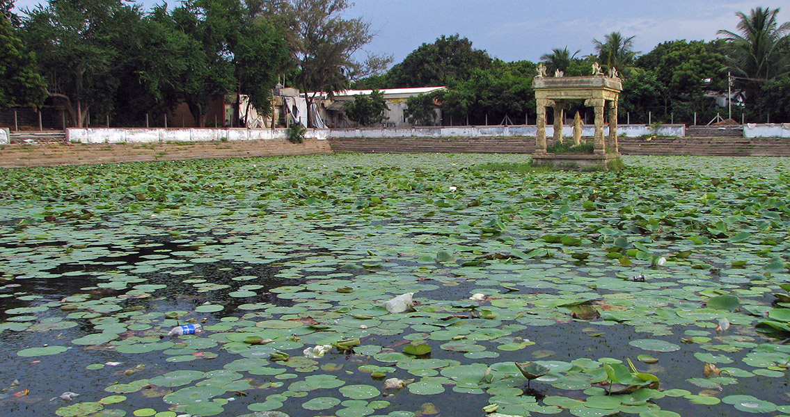
Indian Times that many of these structures were concealed with a thick layer of aquatic growth, making them difficult to identify. “Some of them are badly damaged due to strong underwater currents and swells. However, we could make out that they were part of a building complex,” Nigam is quoted as saying. Archaeologists believe that the structures may be between 1,100 and 1,500 years old. From previous experiences and as a result of studies on the historical patterns of the sea level in this region, researchers have determined the sea-level approximately 3,500 years ago was lower than it is now, but 6,000 years ago it was actually higher. Archaeologist, T. Sathyamurthy, with the Archaeological Survey of India (ASI), Chennai Circle, told the Indian Times that explorations of this type were gradually providing evidence that myths are often facts. Using sonar technology, researchers with ASI began exploring the coastline of Mahabalipuram and discovered the row of stones seen by people immediately before the tsunami on 2004 and determined they were part of a larger 70-meter-long, six-foot-high wall. They also found the remains of three additional temples; two of which were submerged, and a cave temple within 500 meters of the coast. Historians believe a majority of these structures, as well as the port, may have become submerged as a result of a past tsunami-like occurrence which took place around 952 CE. Geophysical data from previous surveys and explorations also point to a large building complex, possibly a township, being submerged in the sea. A global rise in sea levels of even 1mm to 2mm annually could easily inundate several hundred meters of shoreline over a 2,000-year time period. Another explanation for the structures being under water is tectonic movement or soil erosion.]]>
Categories
Breaking News

Natural Disasters May Have Inspired Exodus

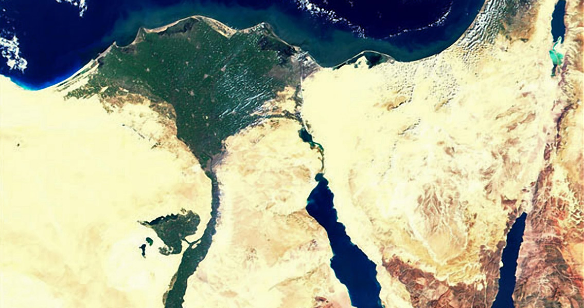
A Numerical Modelling Study on the Potential Role of Tsunamis in the Biblical Exodus” ]]>

Categories
Breaking News

The Eastern Mediterranean Earthquake, 365 CE

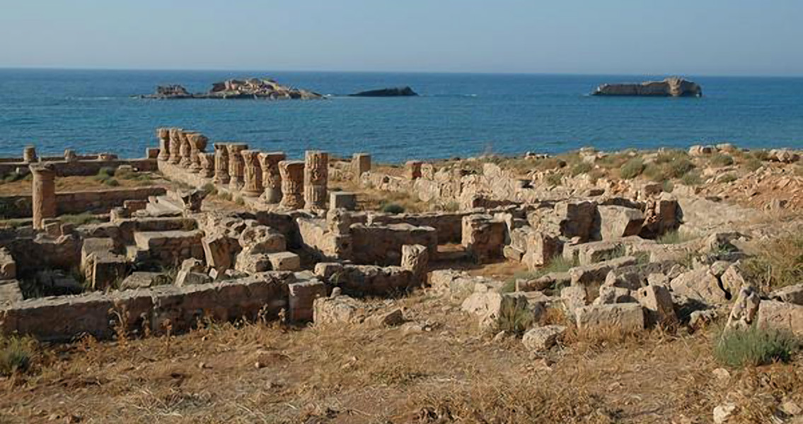
study by Stathis C Stiros, published in the Journal of Structural Geology, used historical and archaeological evidence to argue that the 365 CE earthquake was just the worst example of an “unusual clustering of destructive earthquakes” in the Eastern Mediterranean between the fourth and sixth centuries. The study suggests that the seismic activity may have been the result of a reactivation of the tectonic plate boundaries in the region. The tsunami which resulted from the earthquake struck the Nile Delta, obliterating many small communities. Eye witness accounts provide a description of the tidal wave as it struck the city of Alexandria. The historian Ammianus Marcelinnus wrote in his work Res Gestae “…the solidity of the whole earth was made to shake and shudder, and the sea was driven away, its waves were rolled back, and it disappeared, so that the abyss of the depths was uncovered and many-shaped varieties of sea-creatures were seen stuck in the slime… The waters returning when least expected killed many thousands by drowning.” As the wave struck Alexandria, ships were hurled over the sea walls and landed on buildings in the city. Approximately 5,000 people in the city lost their lives and 50,000 homes were destroyed. Outside of the city, farmland around the Nile Delta was rendered useless for years as a result of contamination from salt water. Other coastal towns and cities around the Mediterranean were hit at the same time as Alexandria, with the tsunami responsible for destroying settlements in West Cyprus, Libya, and Sicily. In the years following the devastation Alexandria was gradually flooded by sea water, eventually consuming most of the city. It wasn’t until 1995 that the historic centre of the city was recovered by archaeologists. Image courtesy of Wikimedia Commons user: Jona Lendering]]>