

Haaretz interview with Annette Nagar, the head of the IAA, the NRC is funding the current excavation of the remains of the church site. “The road station and its church were built in the Byzantine period beside the ancient road leading between Jerusalem and the coastal plain,” said Nagar, adding that while the road itself survived the end of the Byzantine era, the church and road station have fallen into disuse and disrepair in the 1,500 years since they were used regularly. The church, when in its heyday, was around 16 meters in length. To the side was a small alcove measuring 6.5 meters by 3.5 meters, thought to have been used as a secondary chapel; in the northeast corner of this smaller chapel is a baptismal font constructed in the shape of a four-leaf clover, which was an early symbol of Christianity used to represent the cross. Directly west of the church are the remains of the roadhouse, a building that would have been used to provide lodging for travelers and pilgrims on their way to and from Jerusalem. A plethora of archaeological finds were discovered in both the remains of the church and the roadhouse in the form of smaller artifacts, which included fragments of marble, shells made of mother-of-pearl, glass drinking vessels, coins and small oil lamps. The walls of the church were likely decorated with frescoes as evidenced by countless shards of red-colored plaster strewn about the ruin, according to Nagar. This isn’t the first archaeological find that has been uncovered along the road from Jerusalem, especially in the region surrounding Abu Ghosh. Nagar remarked that there were some uncovered within the town itself as well as the proposed site of the Biblical town of Emmaus, the site where Jesus is said to have appeared shortly after his resurrection after his crucifixion. Once the NRC completes its excavation and the IAA concludes its investigation of the site and any artifacts uncovered during the dig, the remains of the church and the roadhouse are slated to be re-buried once more. This will preserve the site for posterity, the IAA says; it could also pave the way for additional research and study on the site at a later date without having to oversee the site and preserve it from the elements in a more active manner. ]]>

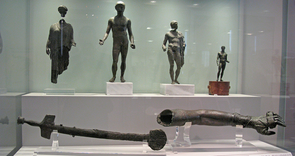
www.antikythera.whoi.edu Image courtesy of Wikimedia Commons user: Tilemahos Efthimiadis from Athens, Greece]]>


New Historian last week, archaeologists have speculated that some of the artefacts in the site may be of Greek origin. Now, another use has been found for some of the golden objects excavated from this dig. The two bucket-shaped cups were found upside-down and covered with intricate carvings on the outside that depicted creatures from mythology; on one, winged griffons are seen attacking both a stag and a horse while another carving showcases an older man engaged in combat with a larger group of younger warriors. The interior of both cups were coated with a black residue that proved to be a mix of opium and cannabis after it was analyzed by forensics experts. The chamber where the golden bongs were discovered had been cleverly concealed beneath a layer of clay and stored within a chamber lined with broad, flat stones. In the end, nearly seven pounds of golden artifacts were excavated including two neck rings, a finger ring, a bracelet, and a collection of three cups in addition to the two cannabis cups. While the site was initially uncovered in 2013, the decision was made to keep the discovery a secret in order to discourage looters. Archaeologists say that there was already evidence that the burial mound had been scoured by looters sometime in the indeterminate past, prompting the secrecy and initially leading them to believe that any valuable artifacts had long since vanished. The site itself is known as a kurgan, one of the few pieces of permanent construction left behind by the Scythians; the largely itinerant civilisation constructed these burial mounds across their territory, which stretched from the Black Sea in the west to as far as Mongolia to the east over the close to a thousand years that the nomadic people ruled the region. Andrei Belinski, the archaeologist that led the excavation team that took over following the discovery of the site, says that the historical value of the find is noteworthy, especially since the bongs are in such excellent condition and the carvings on the cannabis cups harbor such minute details. “I’ve never seen such a detailed representation of the clothing and weaponry of the Scythians,” the archaeologist remarked, adding that “it’s so detailed you can see how the clothing was sewn.” Hopes are high that the cups, and the remainder of the gold uncovered from the kurgan, will help shed additional light on Scythian culture. It has long been thought that the Scythians used cannabis and opium in ceremonial or religious rites. Herodotus, the Greek historian living in the fifth century BCE, described Scythians as smoking a type of plant that affected the cognition of Scythian warriors prior to entering battle. Archaeologists believe the two golden cups uncovered in the Caucasus were likely the possessions of a tribal chief. ]]>
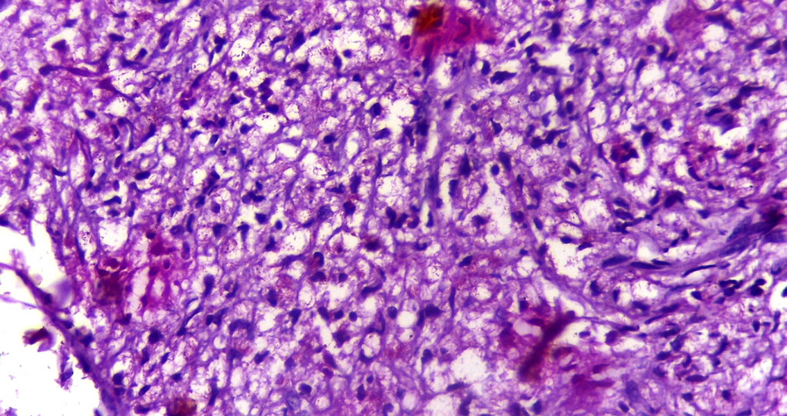
PLOS ONE. The man’s skeleton shows the signs of having been afflicted by leprosy: the toe bones have narrowed and there is damage to the joints. By conducting modern DNA testing the team confirmed that the man, probably aged in his twenties, suffered from leprosy and may well have come to Britain from southern Scandinavia. The team tested the skeleton for bacterial DNA and lipid biomarkers which are characteristic of leprosy. What they found was quite remarkable. “Not every excavation yields good quality DNA,” Professor Mike Taylor, a Bioarchaeologist from the University of Surrey, said, “but in this case, leprosy DNA isolated from the skeleton was so good it enabled us to identify its strain.” Results of the tests showed the specific lineage which the leprosy strain belonged to. The lineage, called 3I, has previously been found in burial sites from Medieval Scandinavia and southern Britain. In the case of the team’s research, the leprosy strain comes from a much earlier period, dating from the fifth or sixth Century CE. By comparing the identified fatty molecules known as lipids from the different leprosy bacteria, the team confirmed that the 3I leprosy found in the Great Chesterford skeleton was different to later strains. Isotopic analysis of the man’s teeth also provided some interesting results. It seems that the Great Chesterford man did not come from Britain; he most likely grew up elsewhere in northern Europe, perhaps southern Scandinavia. It is possible, therefore, that he brought a Scandinavian strain of the leprosy bacterium with him when he traveled to Britain. Project leader Dr Sarah Inskip of Leiden University stated: “The radiocarbon date confirms this is one of the earliest cases in the UK to have been successfully studied with modern biomolecular methods. This is exciting both for archaeologists and for microbiologists. It helps us understand the spread of disease in the past, and also the evolution of different strains of disease, which might help us fight them in the future. We plan to carry out similar studies on skeletons from different locations to build up a more complete picture of the origins and early spread of this disease.” Leprosy today is mainly confined to tropical areas, but in the past it occurred in Europe. Human migration helped to spread the disease, with skeletons from the seventh century onward in particular exhibiting signs of it. The origins of leprosy and how it spread are, however, shrouded in mystery. The recent study of the Great Chesterford skeleton has given us a fantastic opportunity to understand leprosy and, in particular, how it spread. For more information: www.journals.plosone.org Image courtesy of Wikimedia Commons user: Netha Hussain]]>

Proceedings of the National Academy of Sciences, presents new ideas to explore. “We are not arguing against the role of drought in Cahokia’s decline but this presents another piece of information,” says Samuel Munoz, currently writing his Ph.D. in geography and the study’s lead author. The research also provides new information about the history of the Mississippi River, a waterway known to flood regularly, which may be useful now. “By understanding the river better, we can hopefully offer new information to those concerned about the exposure of current populations to floods”, explains Williams, a professor of geography. By using radiocarbon dating techniques of plant remains and charcoal within the core samples, Munoz and Williams have established ‘fingerprints’ of major flood events from the last 2,000 years. Following a 300-year-period of numerous floods, the centuries after 600 CE witnessed an increasingly arid climate. Archaeological evidence from this period reveals that human activity increased in the floodplain as people moved into the area and farmed more intensively. Around 1200, however, population began to decline. “There are shifts in craft production, house size and shape, and other signals in material production that indicate political, social and economic changes that may be associated with social unrest,” explained Sissel Schroeder, a UW-Madison professor of anthropology who aided Munoz and Williams. Cahokia fractured and the population began to migrate away from the floodplain. By 1400, the site was deserted. Many factors obviously contributed to Cahokia’s rise and eventual decline. A period of gradual aridification followed by increased flood activity provides a means of understanding how past societies, as well as modern ones, are dependent on the climate. Sudden shifts in environmental conditions can prove disastrous for communities, as happened at Cahokia. For more information: www.pnas.org Image courtesy of Wikimedia Commons user: Innotata]]>
Human Ecology. Samson used data gathered from 150 excavated structures at 16 sites in the Greater Antilles, Turks and Caicos, Virgin Islands and northern Lesser Antilles. Also examined were sixteenth-century sketches and recollections of house structures by Spanish conquistadors in Haiti, the Dominican Republic, the Bahamas and Cuba. In all, these buildings spanned a period of history between 1,400 and 450 years ago. Samson argues that a distinctive ‘Caribbean architectural mode’ emerged around 1,400 years ago. Local inhabitants kept using the basic features of this style of building until European colonisation. The mode served as an effective method for meeting the needs of the community, dealing with cyclical environmental hazards and longer-term trends of historical change. Importantly, this was not a one-size-fits-all template for building structures. Carefully-designed structures were evenly anchored to the ground. High-pitched roofs and reinforced facades tended to be built near the shore, where storms were most violent. One particular site, the settlement of El Cabo in the Dominican Republic, had circular houses measuring between 6.5 and 10 metres in diameter. These structures were very effective at dealing with the winds, rain and heat of the Caribbean. Exposure to wind was reduced by locating houses in an irregular pattern, windbreaks and partitions were also used, ensuring wind tunnels did not form. These houses lasted for centuries, being rebuilt and repaired as needed, with the essential characteristics of the buildings remaining the same. Samson’s study reveals how historical communities coped with severe natural disasters. Also, Samson believes her work could shed light on how modern-day communities can be better supported by humanitarian efforts to rebuild homes. If a dialogue is encouraged between different disciplines dealing with housing, a greater appreciation of historical shelter processes can be gained. Every area has its own unique architectural history which could provide clues for how best to respond to disasters in that specific location. For more information: www.link.springer.com Image courtesy of Wikimedia Commons user: Boing-boing]]>
